TURNING SIGNALS INTO COORDINATES: HOW DRONE-MOUNTED IMSI CATCHERS ARE TRANSFORMING SEARCH AND RESCUE
Even when a mobile phone has no signal, no GPS lock, or can’t place a call, it may still be attempting to connect to the nearest tower. These background attempts, typically invisible and unnoticed by the user, contain a valuable piece of information: the phone's IMSI (International Mobile Subscriber Identity).
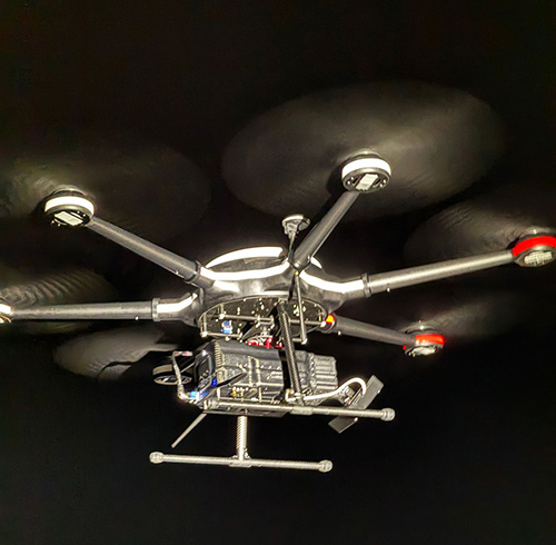
With specialised equipment mounted on UAVs, rescue teams can now detect and localise these silent signals, translating them into actionable coordinates—even in the most hostile or infrastructure-denied environments.
From Signal to Rescue
Imagine a lost hiker deep in mountainous terrain, far from the nearest cell tower. His phone shows “No Service,” and he can’t call for help. But as long as the phone is powered on, it’s still periodically sending out registration signals in an attempt to find a network. A drone equipped with an IMSI catcher can fly overhead, detect that signal, and use multiple passes or triangulation techniques to pinpoint the phone's approximate location.
This turns what was once a needle-in-a-haystack operation into a targeted mission with coordinates and direction.
Why It Matters
- Speeds up rescue operations by narrowing search zones dramatically.
- Works in GPS-denied environments, including indoors, underground, or under thick vegetation.
- Enhances responder safety by reducing the time they spend in dangerous or unstable terrain.
- Expands reach, allowing SAR teams to cover more ground with fewer resources.
Ethical Use and Oversight
It’s important to note that IMSI-catching technology, while powerful, must be handled with responsibility and oversight. These tools are typically restricted to authorised users, and governed by strict legal frameworks to protect privacy and limit scope of use.
Looking Ahead
As drone capabilities advance and miniaturised electronics become more powerful, we can expect IMSI-based localisation tools to become faster, more precise, and even autonomous. Combined with AI-assisted flight planning and multi-drone coordination, the future of search and rescue is not only smarter - it’s safer and faster.
Because in the silence after disaster, sometimes the only voice left is the whisper of a signal, and now, we can hear it.